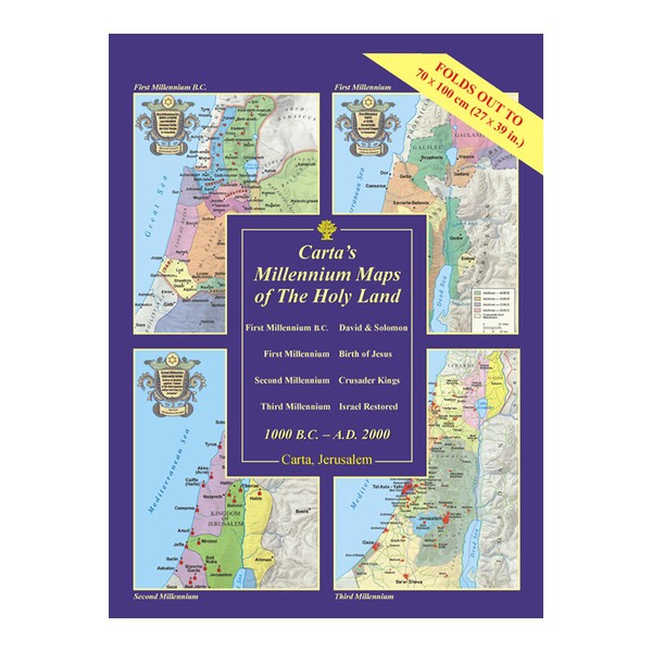
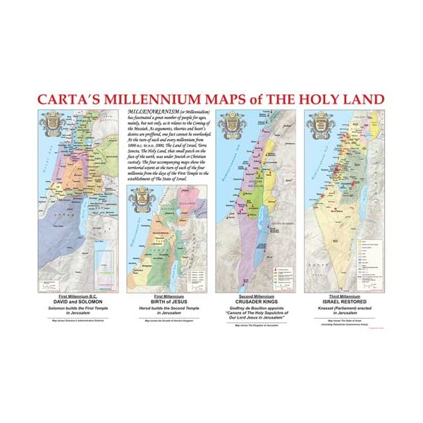
Carta’s Millennium Maps of the Holy Land - 1000 B.C. - A.D. 2000

A Wall Chart -
Carta’s Millennium Maps of the Holyland portray the extent of territorial control of the Holy Land at the turn of four millennia:


By: Carta Jerusalem
Carta’s Millennium Maps of the Holyland portray the extent of territorial control of the Holy Land at the turn of four millennia:
First Millennium B.C.: The Kingdom of David and Solomon;
the First Millennium: The Birth of Jesus;
the Second Millennium: The Crusader Kingdoms;
and the Third Millennium: Israel Restored.
Language: English
Laminated
9¾×13½ in. (24.5×34.5 cm)
Folds out to 27½×39 in. (70×100 cm)
Case: 10½×14 in. (27×35.5 cm)
Featuring:
Four full-color Wall Maps with an introductory text
ISBN: 965-220-629-6
Weight: 180g (6.08 oz)