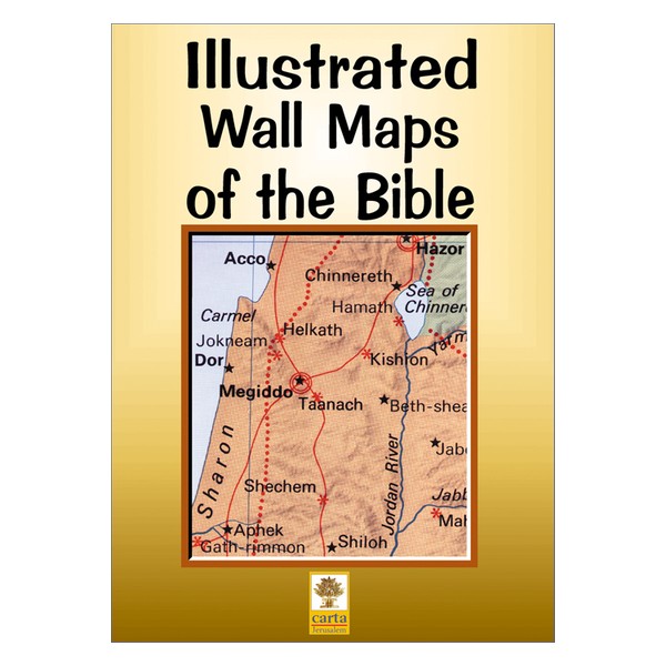
By: Carta ***** OUT OF STOCK ******
A set of full-size sheets of 12 maps and plans covering the whole Bible epoch. Specially designed as a teacher’s aid, it can be used in conjunction with Atlas of the Bible which is free with this package.
Suitable for adults or children, it is an economical and attractive aid to bring the Bible to life.
Ideal for schools, Sunday schools, Bible classes in schools, seminaries, and colleges.
Language: English
12 full-size sheets, 28 x40 in. (70 x100 cm)
Box size: 10 x14 in. (25 x35.5 cm)
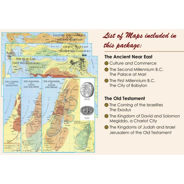
Featuring:
Maps:
Culture and Commerce in the Ancient Near East
Ancient Near East in the Second Millennium B.C.
The Near East in the First Millennium B.C.
The Coming of the Israelites
The Kingdom of David and Solomon
The Kingdoms of Judah and Israel
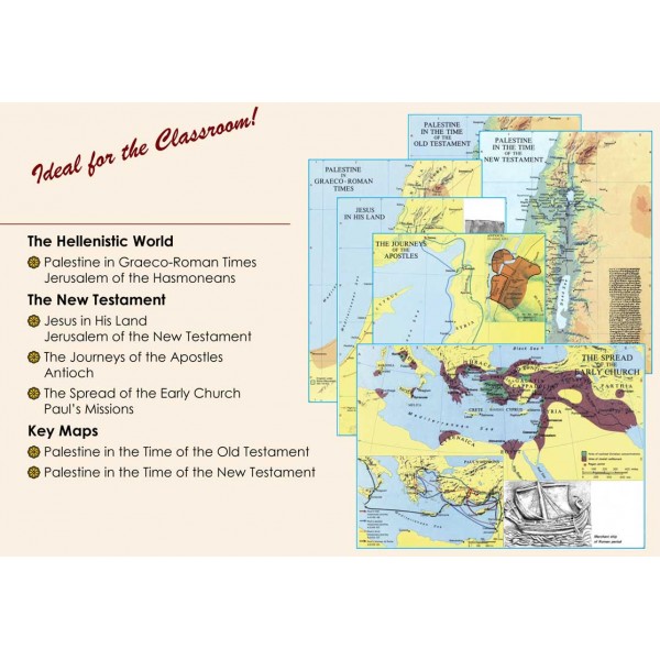
Palestine in Graeco-Roman Times
Jesus in His Land
Journeys of the Apostles
The Spread of the Early Church
Palestine in the Time of the Old Testament
Palestine in the time of the New Testament
Free with this package:
Atlas of the Bible
Thirty full-color maps, 20 pages, illustrations
ISBN: 965-220-493-5
Weight: 1.35 kg (3 pounds)